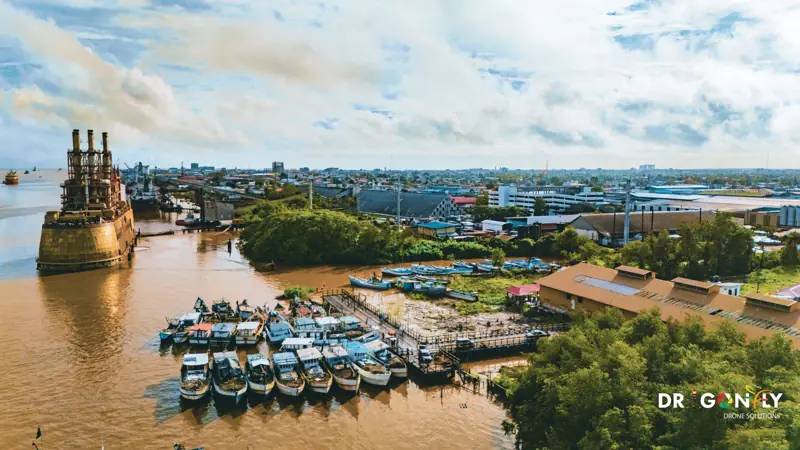
Industries We Serve
Different sectors need different things from aerial data.
An asset integrity manager needs defect imagery located precisely enough to send a repair crew to.
A mine surveyor needs volumes that reconcile against the plan. A project engineer needs a terrain model that drops into the design software without rework.
We work to the standards each sector requires, in the formats your teams already use, with the documentation your procurement process asks for.
Industries we serve
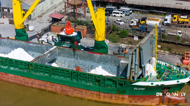 Oil & GasPipeline and facility inspection, flare stack survey, tank and vessel assessment, environmental baseline and monitoring. Safety-led operations with full documentation for prequalification.Explore Oil & Gas
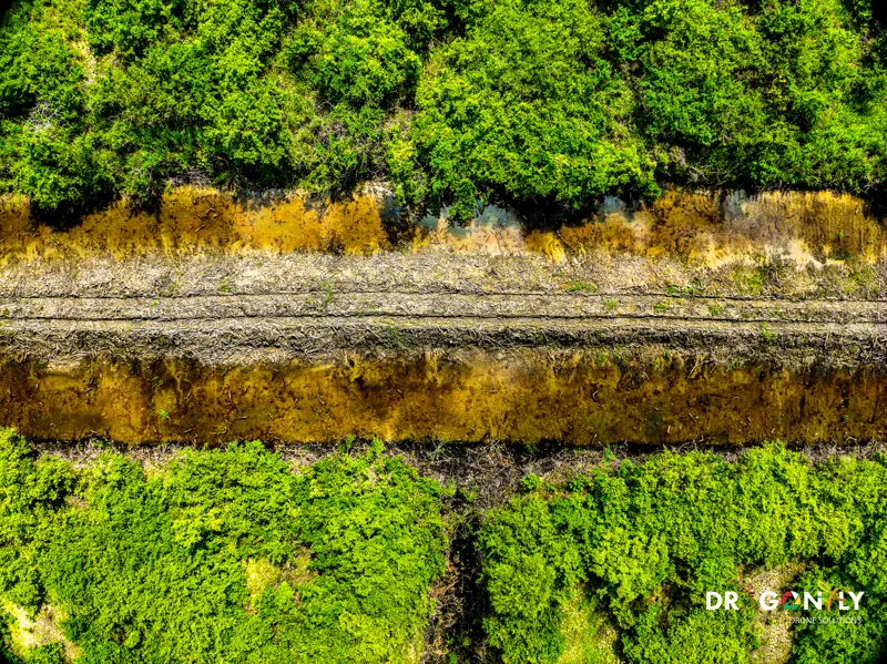 MiningPit and stockpile volumetrics, tailings storage facility monitoring, haul road mapping and rehabilitation documentation. Experienced working Guyana's interior.Explore Mining
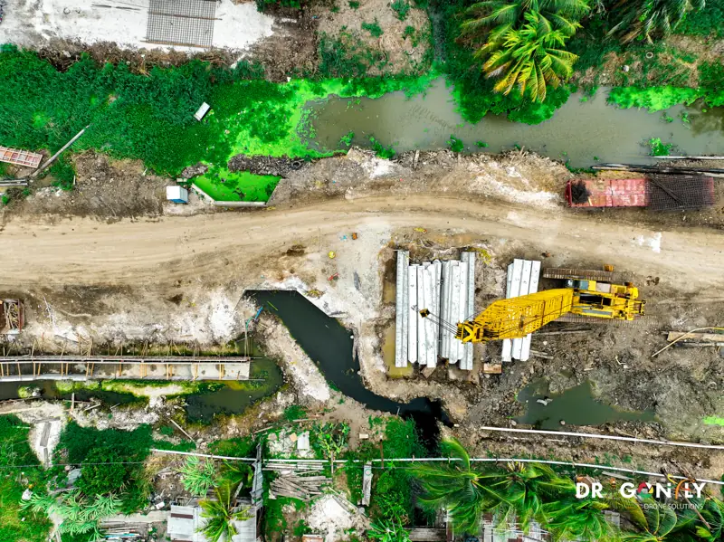 Construction & InfrastructurePre-construction topographic survey, earthworks volumetrics, monthly progress capture and as-built documentation for building and civil projects.Explore Construction & Infrastructure
More sectors
Power & Utilities
Transmission and distribution line inspection, substation thermography, vegetation encroachment mapping and storm damage assessment.
Coming soon — contact us to discussAgriculture
Precision spraying, multi-spectral crop health mapping, drainage analysis and field survey for rice, sugar cane and cash crops.
Coming soon — contact us to discussEnvironment
Deforestation and land-use monitoring, wetland and mangrove mapping, coastal survey and environmental impact assessment data.
Coming soon — contact us to discussGovernment & Institutions
Geospatial data, capacity building and technology transfer for ministries, agencies and development programmes operating in Guyana.
Coming soon — contact us to discussReal Estate
Aerial photography, video tours, development showcases and boundary visualisation for property marketing.
Coming soon — contact us to discussWorking across sectors
If your project spans more than one of these, that is normal.
Most of our work crosses these lines. A mining operation needs environmental monitoring as well as volumetrics. A construction project needs survey before it starts, progress capture while it runs, and aerial production at handover.
Tell us the outcome you need and we will scope the combination.
Documentation for procurement
Tell us what your procurement process requires and we will send it across.
For tender submission and supplier prequalification we can provide:
- GCAA certification
- Remote Pilot Licence details
- Insurance certificates
- Equipment specifications
- Accuracy statements
- Method statements
- Project references
Discuss Your Project
Tell us the outcome you need and we will scope the combination.