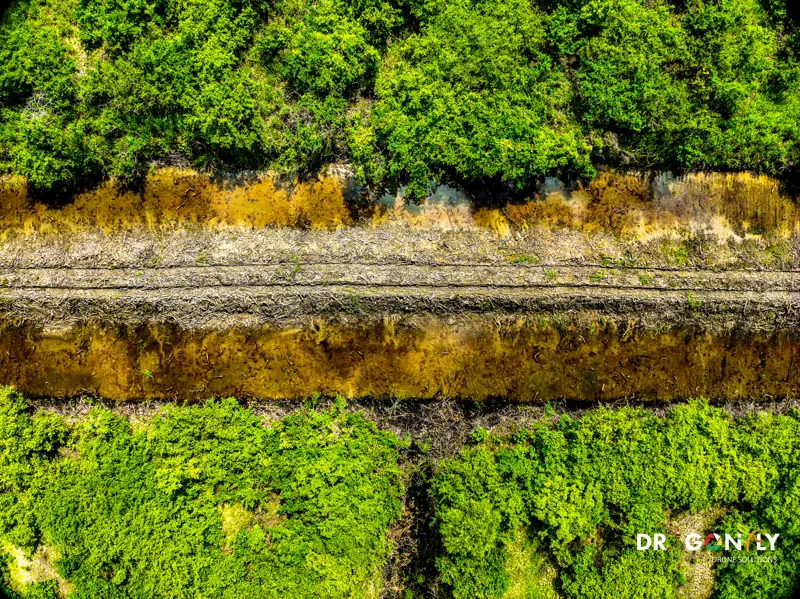
Drone Surveys for Mining Operations in Guyana
Volumes that reconcile. Monitoring that stands up to the regulator.
Mining sites in Guyana are difficult to survey conventionally.
They are remote, access is slow, the working faces change weekly, and sending a survey crew across a live pit is both expensive and hazardous.
Dragonfly provides aerial survey, volumetrics and monitoring for mining operations across Guyana, including the interior regions. We fly pits, stockpiles, tailings facilities, haul roads and rehabilitation areas, and deliver data your surveyors and engineers can reconcile against the plan.
We are a GCAA-certified Guyanese operator working from Georgetown, with experience operating in Region 7 and the interior.
What we survey
Open pit survey
Pit topography, face position, bench geometry and progress against design, flown on a repeatable schedule so comparisons are like for like.
Stockpile and material volumetrics
Stockpile volumes for reconciliation and reporting, with repeatable flight plans and documented accuracy so the numbers hold up at month end.
Tailings storage facility monitoring
TSF survey for capacity, freeboard, embankment geometry and settlement, with time-series comparison between surveys.
Haul road and infrastructure mapping
Road condition, gradient and drainage, plus site infrastructure and laydown mapping.
Rehabilitation and closure documentation
Progressive rehabilitation records, vegetation establishment monitoring and closure evidence for regulatory submission.
Environmental and compliance monitoring
Sediment and runoff, vegetation change, water management and buffer zones, with data suited to EPA reporting.
Tailings monitoring
Tailings storage facilities need regular, documented survey - for operational capacity planning, and for the compliance record.
Aerial survey captures the whole facility in a single flight: embankment geometry, crest levels, freeboard, beach profile and the surrounding ground. Repeat surveys flown to the same plan give a direct comparison over time, so settlement and deformation show up as measured change rather than as impression.
Because the data is captured from the air, nobody walks the embankment to collect it.
Dragonfly has delivered TSF survey work in Guyana.
Why aerial survey suits mining
Speed
A pit and its stockpiles can be captured in a single flight. Conventional survey of the same area takes days, and the site changes while the crew is working.
Safety
No surveyors walking a live pit, climbing stockpiles or standing on a tailings embankment.
Repeatability
The same flight plan every month produces directly comparable data. Volume change is measured rather than estimated.
Coverage
Aerial survey records the whole site, not just the points someone walked to. Questions that come up later can often be answered from data already captured.
Auditability
Every survey carries an accuracy report and a date-stamped dataset - which matters when a volume figure is challenged.
Working the interior
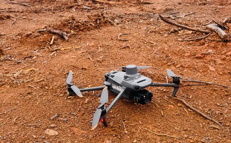
Much of Guyana's mining sits well inland, in Region 7, Region 8 and Region 10, where access is slow and mobilising a conventional crew is a logistical exercise in itself.
We have operated in these conditions. Flight planning accounts for terrain, canopy and the absence of infrastructure, and the regulatory approvals for remote operation are handled as part of the scope.
Deliverables
- 01Orthomosaics and topographic surfaces
- 02Digital terrain and surface models
- 03Volume calculations with supporting accuracy reports
- 04Contour plans and cross-sections
- 05Classified LiDAR point clouds where vegetation requires it
- 06Time-series comparison datasets between surveys
- 07CAD and GIS outputs in your mine planning formats
Compliance and documentation
Mining operators in Guyana report to the Guyana Geology and Mines Commission and the Environmental Protection Agency, and increasingly to international standards where the operation is foreign-owned or listed.
Our survey data is produced with documented methodology and accuracy statements, suitable for inclusion in regulatory and technical reporting.
For contractor prequalification we can supply:
- GCAA certification
- Remote Pilot Licence details
- Insurance certificates
- Method statements
- Risk assessments
Frequently Asked
What mine surveyors and site managers ask before the first flight.
Ask us directlyVolumes are derived from survey-grade terrain data at 1-3 cm horizontal and 2-5 cm vertical accuracy, captured with ground control and supplied with an accuracy report.
Most operations survey monthly for reconciliation. Tailings facilities are often more frequent, and active construction areas more frequent again. We will advise based on how fast your site changes.
Yes. We have operated in Guyana's interior mining regions and handle the flight planning, approvals and logistics as part of the scope.
Yes. Deliverables are produced in the CAD and GIS formats your surveyors and engineers already use. Tell us which package and we will match it.
Discuss Your Site
Tell us the operation, the location and what you need measured. We will scope the survey schedule and the deliverables around your reporting cycle.