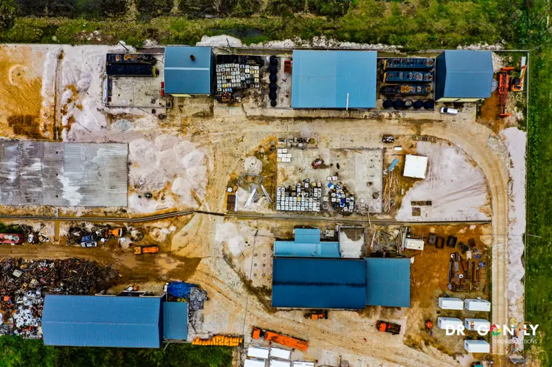
Drone Survey & Mapping in Guyana
Survey-grade drone data. Engineering-ready deliverables.
Dragonfly provides professional drone surveying and photogrammetric mapping for infrastructure, construction, energy, mining and land development projects across Guyana.
We specialise in accurate data acquisition, advanced processing, and CAD- and BIM-ready outputs that support informed engineering decisions. Our workflows integrate UAV photogrammetry, GIS, CAD and BIM to deliver reliable spatial intelligence from initial capture through to final reporting.
Every survey is flown under Guyana Civil Aviation Authority certification, with ground control established and documented, and an accuracy report supplied alongside the deliverables.
Accuracy and method
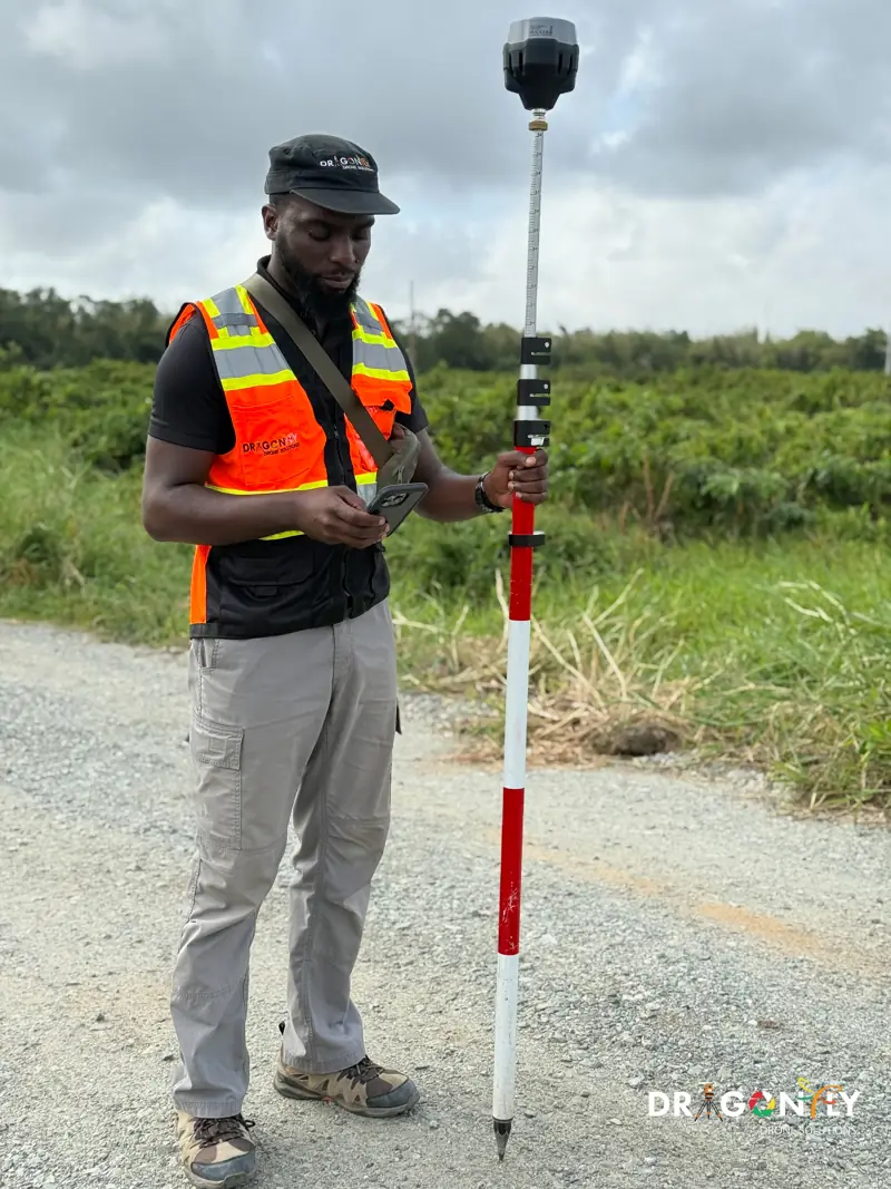
Our surveys deliver 1-3 cm horizontal and 2-5 cm vertical accuracy, using RTK and PPK GPS positioning with ground control points established across the site.
RTK (Real-Time Kinematic) and PPK (Post-Processed Kinematic) are satellite positioning methods that correct the aircraft's recorded position against a fixed reference, reducing error from metres to centimetres. Ground control points are surveyed markers placed on site, used to tie the aerial data to known coordinates and to verify the accuracy achieved.
This matters because it is the difference between an image of a site and a measurement of it. Data at this standard can be used for design, for volume calculation and for formal reporting.
- RTK and PPK GPS positioning
- Ground control points across the site
- Check points held back to verify the result
- Accuracy report supplied with every deliverable
What we deliver
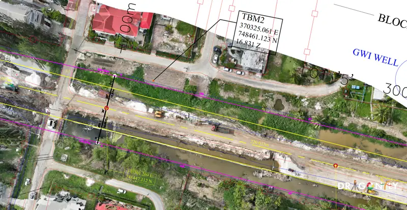
Orthomosaic maps
Geometrically corrected aerial imagery that can be measured directly, supplied at the resolution your project requires.
Topographic surveys
Full site topography with spot heights, break lines and surface models, delivered in the coordinate system your project uses.
Planimetric feature extraction
Roads, drains, structures, fence lines and site features digitised as CAD or GIS layers, ready for design work.
Contours and elevation datasets
Contour plans at your specified interval, with digital terrain and surface models.
Volumetrics and earthworks analysis
Stockpile volumes, cut and fill calculation, quarry and borrow pit survey, and time-series comparison between captures.
CAD and BIM deliverables
DWG and DXF drawings, surface models, cross-sections, and BIM-ready terrain and site models that drop into your existing workflow.
GIS datasets and technical reports
Georeferenced layers and documented reporting, including the accuracy statement for the survey.
How a survey runs
- 01
Scope and accuracy requirement
We agree what you need to measure, to what tolerance, and in which coordinate system and output formats.
- 02
Flight planning and approvals
We plan the flight for the terrain and the required ground sample distance, and obtain the regulatory approvals for the location.
- 03
Ground control
Control points are established and surveyed across the site, with check points held back to verify the result independently.
- 04
Data capture
The survey is flown, with coverage and image quality verified on site before the team leaves.
- 05
Processing and quality control
Data is processed, accuracy is checked against the control, and outputs are produced in your specified formats.
- 06
Delivery
Deliverables are supplied with an accuracy report. Typical turnaround is 5-10 business days from capture, depending on area and complexity.
Where we work
We survey across all of Guyana, including remote and interior locations. Our team has worked in jungle terrain, riverine environments, the coastal plain and the interior mining regions.
Site access, mobilisation and regulatory approvals are handled as part of the scope. If your site is remote, that is not a reason to accept less accurate data.
Who we work with
- 01Engineering and consulting firms
- 02Construction contractors and developers
- 03Mining and industrial operations
- 04Utilities and energy providers
- 05Government agencies and public sector projects
- 06Development programmes and institutions
Frequently Asked
What engineers and surveyors ask before commissioning a drone survey.
Ask us directly1-3 cm horizontal and 2-5 cm vertical, using RTK/PPK GPS with ground control points. This exceeds the requirement for most engineering and construction survey work. An accuracy report is supplied with every deliverable.
Orthomosaics, DWG and DXF CAD drawings, digital terrain and surface models, contour plans, classified point clouds in LAS/LAZ, and GIS datasets. Tell us what your team works in and we will match it.
Typically 5-10 business days from data capture to delivery, depending on the area surveyed and the complexity of the outputs. Rush timelines can be accommodated.
Yes. Flight planning and all Guyana Civil Aviation Authority approvals are handled as part of the scope, including for remote and restricted locations.
Get a Survey Quote
Tell us the site, the area and what you need to measure. We will come back with scope, accuracy and price.