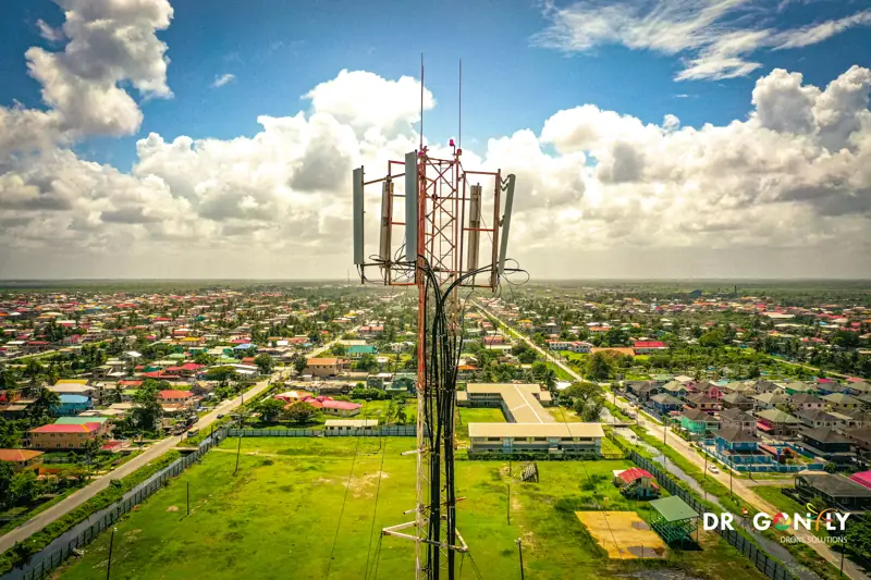
Drone and Geospatial Services in Guyana
Six service lines, one GCAA-certified operator.
Dragonfly provides six service lines covering the full range of commercial drone and geospatial work in Guyana.
From survey-grade mapping and asset inspection through to aerial production and pilot training.
Every service is delivered under Guyana Civil Aviation Authority certification by licensed, insured pilots, with deliverables produced in the formats your engineering, planning or GIS teams already use.
If you are not sure which service fits your project, tell us what you need to know and we will advise.
Geospatial and Survey
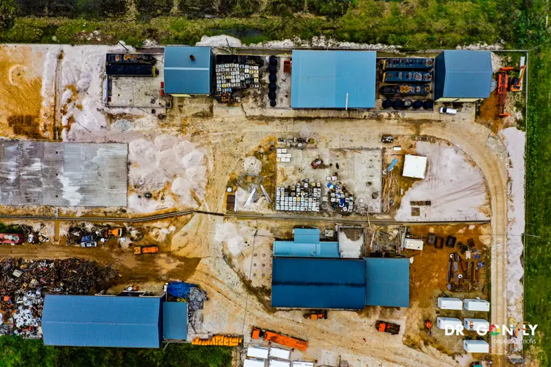 Drone Survey & MappingSurvey-grade aerial mapping at 1-3 cm horizontal accuracy. Orthomosaics, topographic survey, planimetric feature extraction, volumetrics and CAD-ready deliverables for engineering and construction.Explore Drone Survey & Mapping
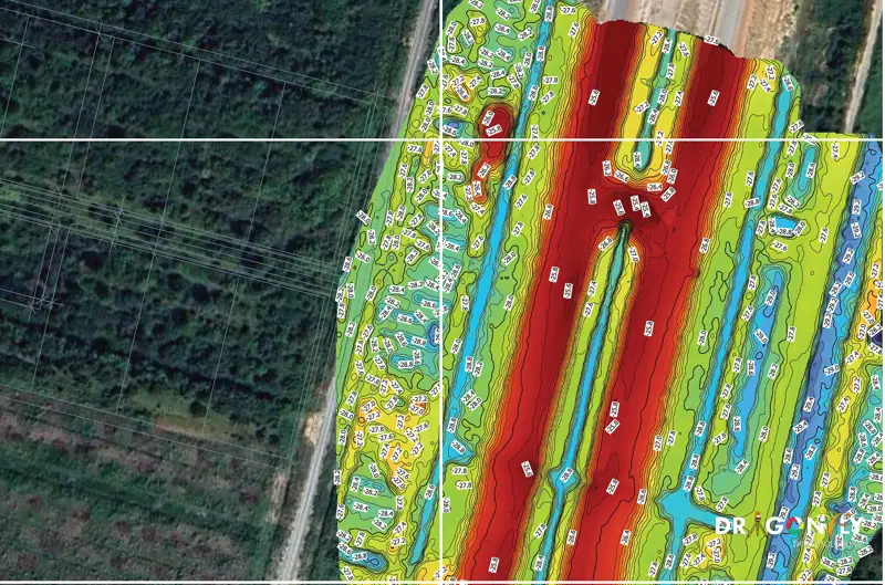 LiDAR & 3D MappingUAV LiDAR producing high-density point clouds that measure through vegetation to bare earth. Classified point clouds, digital terrain and surface models, contours and corridor mapping.Explore LiDAR & 3D Mapping
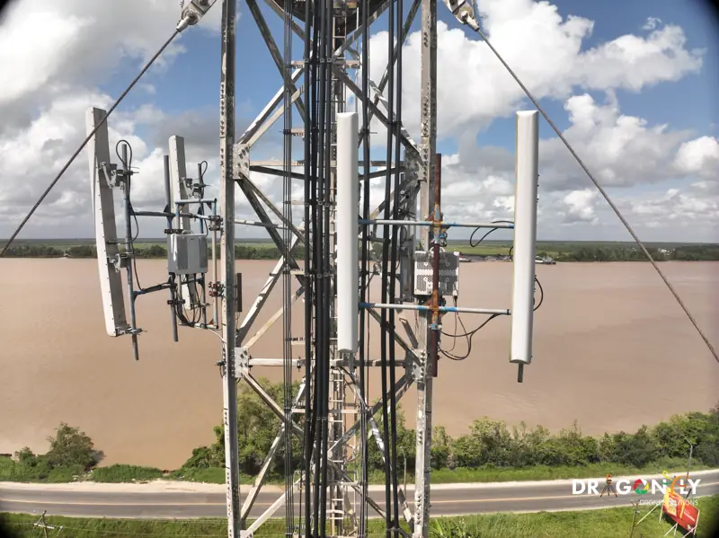 Inspection ServicesVisual and thermal inspection of pipelines, transmission lines, towers, bridges and industrial facilities. Detailed condition reporting without scaffolding, rope access or shutdown.Explore Inspection Services
Production and Agriculture
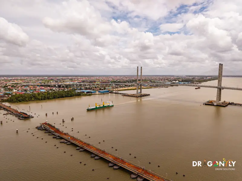 Aerial ProductionBroadcast-quality 4K aerial photography and video. Corporate production, event coverage, property and development showcases, infrastructure documentation and drone light shows.Explore Aerial Production
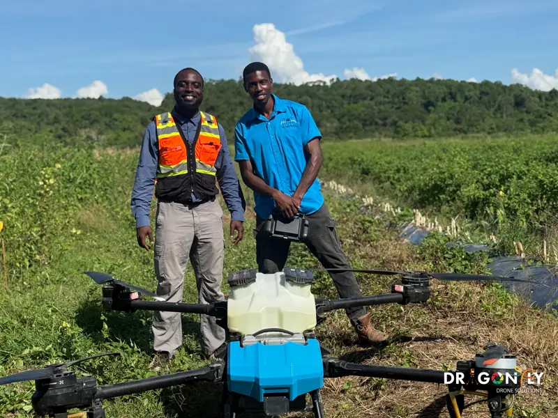 Precision AgricultureTargeted drone spraying, multi-spectral crop health mapping, yield estimation and field survey for rice, sugar cane and cash crop operations.Explore Precision Agriculture
Not sure what you need?
Most projects use more than one service.
A construction site might need topographic survey before work starts, monthly progress capture during the build, and aerial production for the handover.
Tell us the outcome you need and we will scope the right combination.
Request a Quote
Tell us the outcome you need and we will scope the right combination.