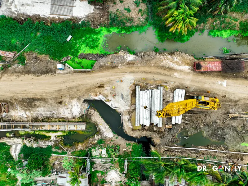
Drone Surveys for Construction & Infrastructure in Guyana
Know what the site looked like last month, and what it actually looks like now.
Construction disputes are usually arguments about what happened and when.
Quantities claimed against quantities placed, programme slippage against the baseline, as-built against design.
Dragonfly captures construction sites from the air on a regular schedule, producing survey-grade topographic data, earthworks volumes and progress records that settle those arguments with measurement rather than recollection.
We work across Guyana on building, civil and infrastructure projects, from pre-construction survey through to as-built handover.
Across the project lifecycle
- 01
Pre-construction survey
Existing-ground topographic survey before work starts, establishing the baseline that every subsequent volume is measured against. Orthomosaic, terrain model, contours and CAD-ready files.
- 02
Earthworks and volumetrics
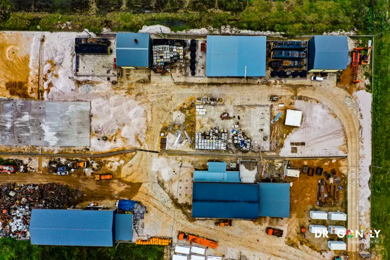
Cut and fill calculation, stockpile measurement and material tracking, flown monthly or at your valuation cycle so quantities can be verified independently.
- 03
Progress monitoring
Scheduled site capture on a repeating flight plan, producing directly comparable orthomosaics and 3D models. Progress reporting that stakeholders can see rather than read about.
- 04
Corridor and linear mapping
Road, highway and drainage alignments surveyed as continuous corridors, with profiles and cross-sections along the route.
- 05
As-built documentation
Final condition captured and recorded at handover, including elements that become buried or enclosed.
- 06
Dispute and claim support
Date-stamped, independently captured site records with documented accuracy, available when a quantity or a programme position is challenged.
Progress monitoring, in practice
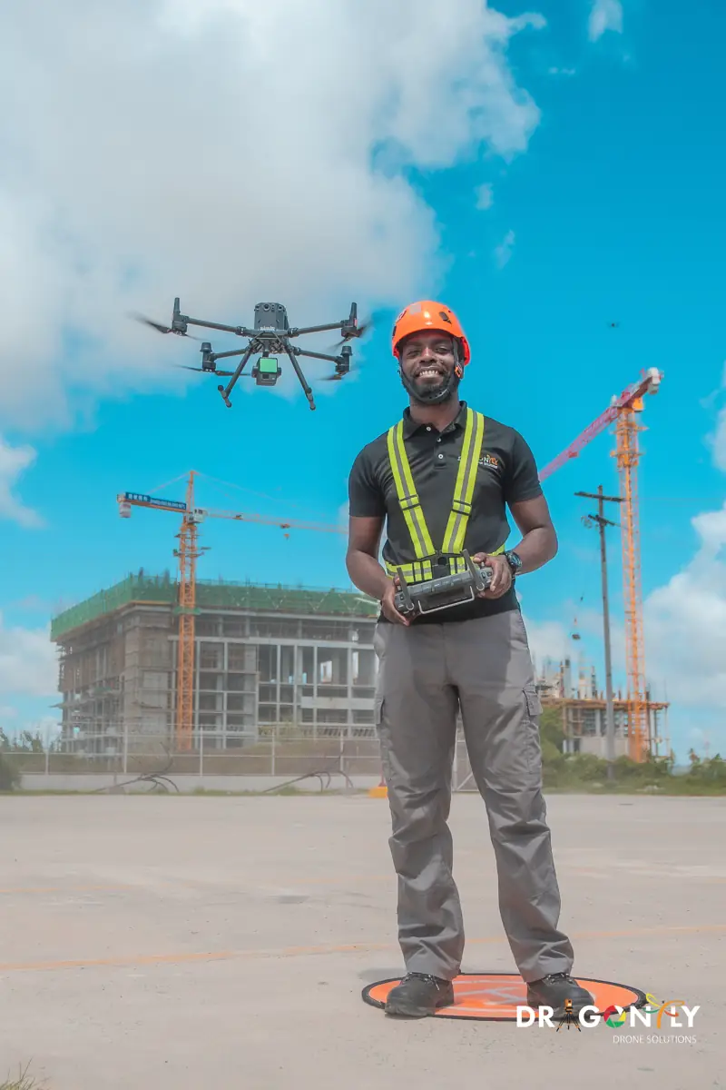
The value is in the repetition, not the individual flight.
We fly the same plan each time, so each capture is directly comparable with the last. That gives a progress record that does not depend on who was on site or what they remembered to photograph.
For a monthly valuation cycle, a capture a few days before the valuation gives the quantity surveyor independent measurement to work from. For a project board, a sequence of orthomosaics shows a month of progress in a single image.
We schedule around your reporting cycle, not ours.
Infrastructure and civil works
Roads and highways
Corridor survey, earthworks volumetrics, drainage design data and progress capture along the alignment.
Bridges and crossings
Survey and structural inspection, including elements difficult to reach from the ground.
Airports and large facilities
Site survey, construction monitoring, pavement and apron documentation.
Sea defences and drainage
Condition survey and elevation modelling for coastal and drainage infrastructure - directly relevant on Guyana's coastal plain, where small elevation differences determine how water moves.
Utilities and services
Route survey and as-built recording for buried and surface services.
Working with your team
We produce data for the people who will use it.
Surveyors
Surveyors receive outputs in the coordinate system and format they already work in, with accuracy reports they can check.
Engineers
Engineers receive CAD and BIM-ready surfaces that do not need rebuilding.
Quantity surveyors
Quantity surveyors receive volumes with documented methodology.
Project managers
Project managers receive imagery they can put in a board pack.
Tell us who the audience is and we will match the deliverable to it.
Compliance and documentation
Every flight is conducted under Guyana Civil Aviation Authority certification by licensed pilots, under a documented flight plan and site risk assessment, fully insured.
We work to your site's induction, permit and HSE requirements as standard.
For tender and prequalification:
- GCAA certification
- Remote Pilot Licence details
- Insurance certificates
- Method statements
- Risk assessments
- References
Frequently Asked
What contractors, engineers and quantity surveyors ask before they commission a survey.
Ask us directlyMost projects capture monthly, aligned to the valuation cycle. Fast-moving earthworks sometimes justify fortnightly. We will recommend based on how quickly your site changes and when you need the numbers.
Yes. Deliverables are produced as DWG, DXF, surface models and BIM-ready terrain in your project coordinate system. Tell us the software and we will match it.
Aerial survey covers the whole site rather than selected points, captures in hours rather than days, and nobody walks through live works to collect it. For detailed setting-out and control, a ground crew is still the right tool - the two work together rather than one replacing the other.
Yes. Flights are planned around site activity and we work to your permit system. There is normally no need to stop work.
Discuss Your Project
Tell us the project, the programme and your reporting cycle. We will scope a capture schedule and deliverables that fit it.