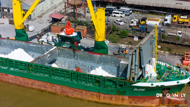
Drone Services for Guyana's Oil & Gas Sector
Asset data without the shutdown. Local content without the mobilisation cost.
Guyana's energy sector runs on schedule and on safety record.
Inspection programmes compete with production time, access work puts people at height, and every contractor on site carries a compliance burden.
Dragonfly provides aerial inspection, survey and environmental monitoring for operators and their contractors in Guyana - captured from the air, with assets live, by a GCAA-certified Guyanese operator already registered under the Local Content Act.
We are based in Georgetown. There is no mobilisation from overseas, no visa lead time, and no premium for getting a crew into the country.
Safety and compliance
We hold ourselves to the standard the sector expects of any contractor on site.
Every flight is conducted under Guyana Civil Aviation Authority certification by pilots holding current Remote Pilot Licences, under a documented flight plan and site-specific risk assessment. Operations are fully insured. We work to your permit-to-work system and site HSE requirements as standard.
Available for tender and prequalification:
- GCAA operator certification
- Remote Pilot Licence details
- Certificates of insurance
- Method statements and risk assessments
- Equipment specifications and accuracy statements
- Project references
What we do for the sector
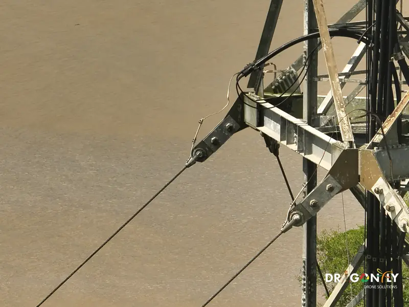
Asset inspection
Flare stacks and vents, pressure vessels, storage tanks, process structures and loading facilities. High-resolution visual and radiometric thermal imagery, captured at close range with the asset in service.
Pipeline and right-of-way survey
Route inspection, encroachment monitoring, erosion and exposure assessment, and corridor mapping along pipeline alignments.
Facility and laydown mapping
Topographic survey and orthomosaic mapping of facilities, laydown yards and construction areas, with volumetrics for material management.
Environmental baseline and monitoring
Pre-construction baseline capture, ongoing monitoring, vegetation and shoreline change, and data supporting environmental impact assessment and regulatory reporting.
Construction and shutdown support
Progress capture during construction and turnaround, as-built documentation, and rapid aerial assessment when something needs eyes on it quickly.
Emergency and incident response
Aerial assessment following an incident, with imagery available to the response team the same day.
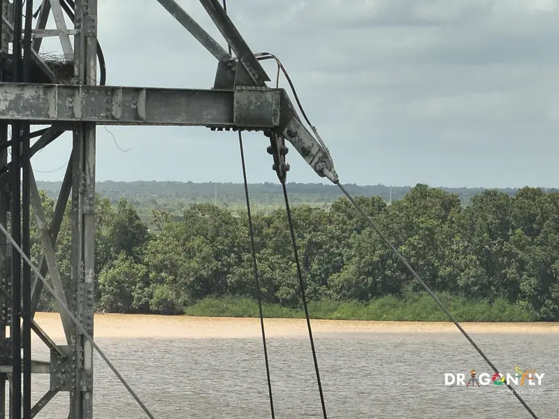
Why aerial inspection, in operational terms
The inspection itself is rarely the expensive part. Scaffolding, rope access teams, permits and the production lost while an asset is down usually cost more than the assessment they enable.
Drone inspection removes the access cost entirely and the shutdown with it. The asset stays in service, the data is captured in hours, and the imagery is permanent - so the next inspection has a baseline to compare against rather than starting fresh.
It also removes the people. No one at height, no confined-space entry, no rope access team on a flare stack. For an operator reporting on HSE performance, that is the number that matters.
Conventional access
- Scaffolding and rope access teams
- Permits and people at height
- Production lost while the asset is down
- Each inspection starts fresh
Drone inspection
- Access cost removed entirely
- Asset stays in service
- Data captured in hours
- No one at height or in confined space
- A permanent baseline to compare against
Local content
Dragonfly is a Guyanese company, Guyanese owned and staffed, operating from Georgetown.
The Local Content Act 2021 requires operators to give fair, adequate and first consideration to qualified Guyanese suppliers. ExxonMobil has stated that commitment publicly.
For an operator or contractor managing local content obligations, engaging us satisfies them. For us, it means we are already here when you need something looked at on short notice.
Deliverables
- 01Georeferenced inspection imagery, indexed by asset
- 02Radiometric thermal data with temperature readings at points of interest
- 03Annotated condition reports with findings located on the asset
- 04Orthomosaics and topographic survey of facilities and corridors
- 053D models of complex structures for access and repair planning
- 06Comparison datasets between repeat inspections
- 07GIS layers in the formats your integrity and GIS teams use
Frequently Asked
Procurement and integrity teams usually ask these first. If yours is not here, ask us directly.
Ask us directlyIn most cases, no. We inspect live assets routinely. Where a particular structure requires a shutdown on safety grounds, we will say so when we scope it.
GCAA certification, Remote Pilot Licences, insurance certificates, method statements, risk assessments, equipment specifications and references. Tell us what your process requires.
Discuss Your Asset Programme
Tell us the assets, the location and what you need to assess. We will scope the work, the reporting and the documentation your procurement process needs.